|
|
 |




|

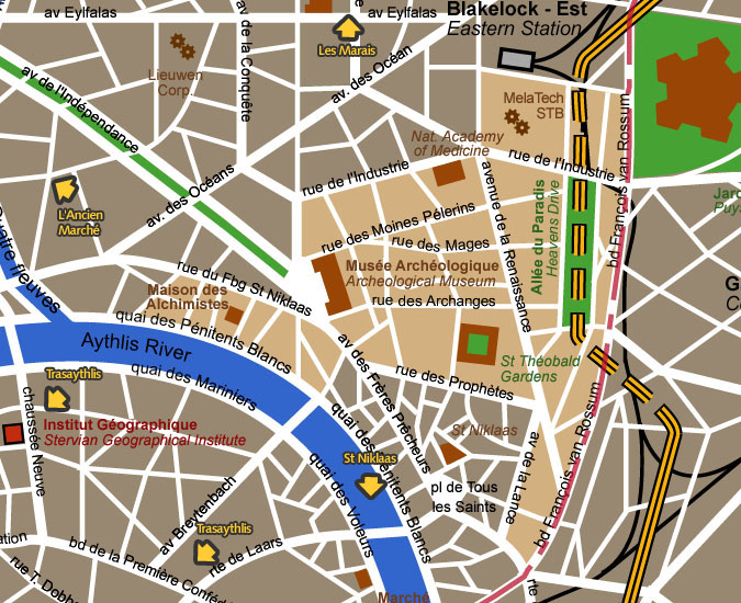
Les Carmes district detail map This district was built around the Carmelite
Monastery of St Théobald, which was before the Plague quite
far from the city walls. The western part of the district is actually
a part of St Niklaas village not integrated in the St Niklaas modern
district.
Map courtesy City of Blakelock / Stervian Geographical Institute back to the General Map of Blakelock |
|
back to the top of the page | back to splashscreen | back to general summary | contact the Stervian government |

|